Territory Bro
Territory Bro is a web app for managing field service territories in the congregations of Jehovah's Witnesses.
- Print physical territory cards with up-to-date street maps
- Share links to electronic territory cards - no login required
- Keep track of territory assignments
- A place to write down do-not-calls - compatible with European privacy laws (GDPR)
You can view a demo congregation to explore what Territory Bro offers.
To start creating new territory cards for your congregation, read more from the user guide.
Example: Electronic Territory Cards
Example: Creating New Territory Cards
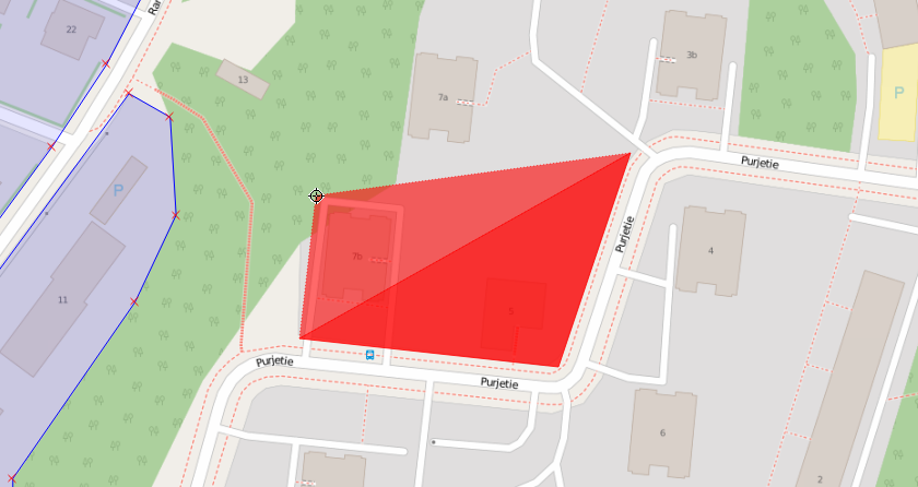
1. Draw the Territories on a Map
This is done using the free QGIS application and saved into a database. Multiple people can edit the same database online, so the work of drawing the territories can be delegated easily.
If you have already drawn the territories as polygons or lines with a map editor (e.g. Google Maps or Google Earth), it's possible to copy the geographic data from there and save many hours of work. Feel free to ask for help with the data migration.
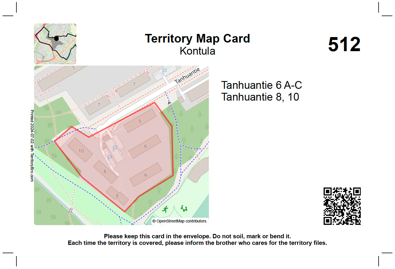
2. Print and Cut
Territory Bro will print territory cards with a street map, addresses and other description texts. The QR code can be scanned to see also the territory's do-not-calls. In the corner, there is a minimap that shows where the territory is located within your city.
Print it on thick paper, cut with a sharp knife and ruler along the crop marks, and you're done!